• Welcome to the official EU LOWA webshop
  • Free shipping & free returns from 80 € order value
  • Extended return period until 09.01.2025
Thru-Hiking.com on adventures in Italy

Thru-Hiking.com on adventures in Italy

Walk through the Dolomites on the UNESCO Geotrail

Thru-hiking on an adventure in Italy

LOWA x Thru-Hiking.com

Back in time
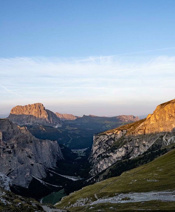
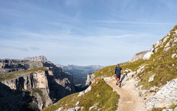
The Dolomites, with their striking peaks and beautiful landscapes, are known for their rugged heights. The formation of this mountain range has an ancient history. UNESCO Dolomites Geotrail serves as a gateway to the past and shows how these mountains were formed millions of years ago by ancient seas, towering coral reefs and tectonic shifts. The route leads through a varied landscape, from cliffs to valleys, which define the geological history of the Dolomites.

The trail runs for 176 kilometres through four nature parks: the Three Peaks, Puez-Geisler, Fanes-Sennes-Prags and Schlern-Rosengarten. The latter is the first park you cross. It is located in the western part of the Dolomites and is known for its high straight walls, including the Schlern massif and the Rosengarten group. You will pass several (luxurious) mountain huts and climb some steep mountain passes.

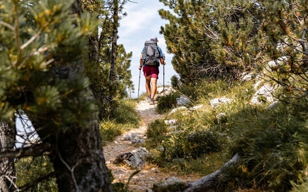
Italy Hike on the new Dolomites UNESCO Geotrail through UNESCO World Heritage Sites in the heart of the Dolomites. On this 176-kilometre trail with more than 10,000 metres of altitude difference, you will hike from hut to hut across the Dolomites along the most beautiful paths and high passes with breathtaking views.

  • Across the Dolomites

    Across the Dolomites

  • Teaser image

The route then leads through the Puez-Geisler National Park. This park is known for its rugged terrain, which encompasses the Puez and Odle mountain ranges. It is a UNESCO World Heritage Site and offers a varied landscape ranging from high plateaus to deep valleys. An absolute highlight is a stay at the Puez hut at an altitude of 2475 metres.

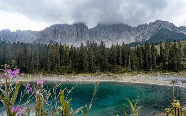
Thirdly, you hike in the Fanes-Sennes-Braies Nature Park, which is located in the heart of the Dolomites. This park is known for its unspoilt wilderness and magnificent views. It encompasses the Fanes plateau, the Sennes highlands and the Braies valley. The hiking trails lead through alpine meadows, forests and emerald green lakes. You can make a detour to the Lago di Braies, one of the most famous places in the Dolomites.

  • Teaser image
  • "On this 176-kilometre route, which covers more than 10,000 metres in altitude, you hike across the Dolomites from hut to hut along the most beautiful paths and high mountain passes with breathtaking views."
    - Thru-hiking, Thru-Hiking.com

  • Teaser image
  • "On this 176-kilometre route, which covers more than 10,000 metres in altitude, you hike across the Dolomites from hut to hut along the most beautiful paths and high mountain passes with breathtaking views."
    - Thru-hiking, Thru-Hiking.com

Breathtaking views of the Three Peaks

The end of the trail leads through the popular Three Peaks Park, which is located in the eastern part of the Dolomites. This park is famous for its famous Three Peaks, which are among the most recognisable peaks in the Dolomites. Although the park is very popular with day hikers, you can spend the night in the fantastic Three Peaks hut on this long-distance hike. From here you have a marvellous and peaceful view of the Three Peaks in the evening and in the morning.

From the DreizinnenhĂĽtte, you hike along a panoramic route to the end point of Sexten, where you can relax after 10 days of hiking through the Dolomites. Don't forget to take a well-earned coffee break at the BĂĽllelejoch hut and the Zsigmondy hut along the way.

The stages:

Stage 1: Bletterbach - Lavazèjoch, 12.2km, 5.5 hours

Stage 2: Lavazèjoch - Karerpass, 20km, 7 hours

Stage 3: Karerpass - Tierser Alpl Hut, 15.6km, 8 hours

Stage 4: Tierser Alpl Hut - St. Ulrich, 16.6km, 6 hours

Stage 5: St. Ulrich - Puez Hut, 23.1, 10 hours

Stage 6: Puez Hut - Armentarola, 21.1km, 7 hours

Stage 7: Armentarola - PederĂĽ, 16.8km, 5.5 hours

Stage 8: Pederü - Plätzwiese, 19km, 7.5 hours

Stage 9: Plätzwiese - Dreizinnenhütte, 16km, 7 hours

Stage 10: DreizinnenhĂĽtte - Sexten, 15.6km, 5.5 hours


You can find the accommodation for the individual stages here.
  • Teaser image
  • Teaser image

Good to know

This trail is best walked from the end of June to mid-September. Please note that you may still come across snow fields in early summer. Remember to book the huts early, as the Dolomites are very popular. Here you will find the GPX, which you can download to your watch or mobile phone. Always take good rain gear and check the weather in advance on the local website.

Which shoes for the Dolomites UNESCO Geotrail?

The Dolomites UNESCO Geotrail is a challenging long-distance hike in the Dolomites. The paths are well maintained, but also contain some rocky and technical passages. It is therefore best to choose a robust, sporty hiking boot that offers support on the technical sections. I opted for the ATR by LOWA FORTUX, a robust trail running shoe with good grip, as you would expect from LOWA. As I often run on these shoes, I could rely on my ankle stability. If you're not sure whether to wear a high or low shoe, the LOWA Renegade is always a good choice. This high shoe offers a bit more stability and has a stiffer sole. Also a good choice for this trail.

Find your next hike on hiking-trails.com, a comprehensive database for long-distance hikes, hut-to-hut tours and day hikes.

The facts

  • DURATION:

    70 hours

  • DIFFICULTY:

    Moderate

  • HEIGHT METER:

    11.400 m

  • LENGTH:

    176 km

FURTHER EXPEDITIONS

We can't find products matching the selection.