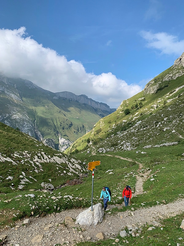
The Alpstein is one of the most beautiful and popular hiking areas in Switzerland and consists of three mountain ranges, between which you will find perhaps the most beautiful mountain lakes in Switzerland: Seealpsee, Sämtisersee and Fälensee. Around 650 kilometres of marked hiking trails lead through the mountain massif. The fact that they are accessible at all times is not left to chance - it takes countless hours of work by trail builders like Ueli Hehli, who we meet in this hiking video.
The destination of this challenging alpine hike is the Säntis - the highest point of the Alpstein massif at 2502 metres above sea level. The beautiful hike leads past the Seealpsee lake, the unique Meglisalp, the spectacular Rotstein Pass and over the exposed Lisengrat ridge to the Säntis summit. There are a total of 25 mountain inns in the Alpstein, 20 of which offer overnight accommodation. On this hike, it is possible to spend the night on the Meglisalp or the Rotstein Pass.
ROUTE:
Wasserauen (868 m) - Seealpsee (1142 m) - Meglisalp (1516 m) - Rotsteinpass (2119 m) - Lisengrat - Säntis (2502 m) - descent to Schwägalp (1352 m) with the mountain railway - then back to the starting point by post bus and the Appenzell Railway
-
- Up to - 20 %
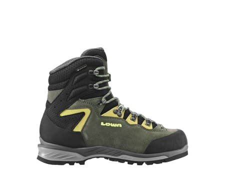
€240.00 Regular Price €300.00coloursizeThe versatile trekking experts for ambitious tours. -
- Up to - 21 %
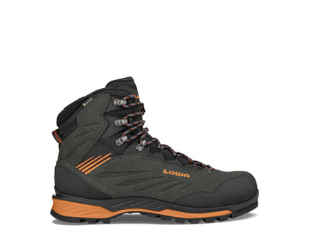
€230.00 Regular Price €290.00coloursizeFunctionality and looks combined in one athletic Alpine boot.

