LOWA PARTNER RALF STUTE ON THE HELL VALLEY ROUTE ON GERMANY'S HIGHEST MOUNTAIN
Ralf Stute, founder of the world's largest via ferrata portal www.via-ferrata.de [via-ferrata.de], tackled Germany's highest mountain via the Höllental route in August 2020 to mark the first ascent of the Zugspitze, which took place 200 years ago this year.
200 YEARS AGO WAS THE FIRST ASCENT OF THE ZUGSPITZE
We set off in the dark at 5 a.m. from the P1 car park in Hammersbach. It was going to be a hot day and the 2200 metres of altitude gain would be clearly noticeable on the summit via ferrata. In summer, it is therefore advisable to set off early if you are tackling the tour without spending the night at the Höllentalangerhütte in order to have enough of a buffer for the last cable car.
With the first rays of sunshine, we reach the entrance to the Höllentalklamm gorge. The turnstile there is also open outside normal opening hours and we enter a "different world". The Höllentalklamm gorge is cut deep between Alpspitze and Waxenstein. From left and right, streams of water keep coming down the gorge walls and the sound is almost deafening. On wooden walkways, over bridges and through several tunnels cut into the rock, we gain more and more height in the gorge. After exiting the gorge, it is only a good half hour before you reach the Höllentalangerhütte. At the Höllentalangerhütte we stop for a snack and survey the route ahead. We can already see the steep step at the end of the valley, which is overcome in a photogenic way using the well-known "ladder" and "plank" passages.
"The tour through the Höllental is the classic route to the Zugspitze."
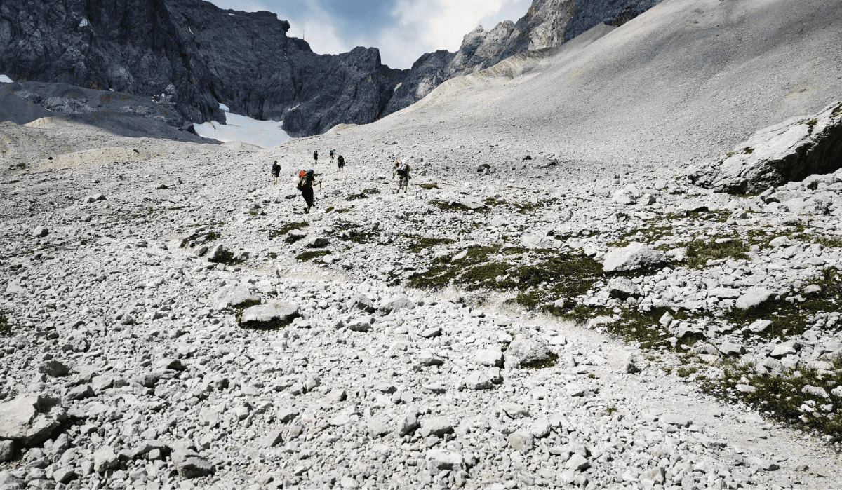
After refreshments, it's just under an hour to the end of the valley to the start of the ladder passage. Here we put on our via ferrata equipment and join the queue that has already formed at the start. No problem for us, as we use the queue for photos and video recordings. We now take a leisurely walk over these secured sections until we reach the gravelly foothills of the Höllentalferner. This is a very strenuous and sweat-inducing climb across the large gravel field to the remaining snow and glacier remnants of the Höllentalferner.
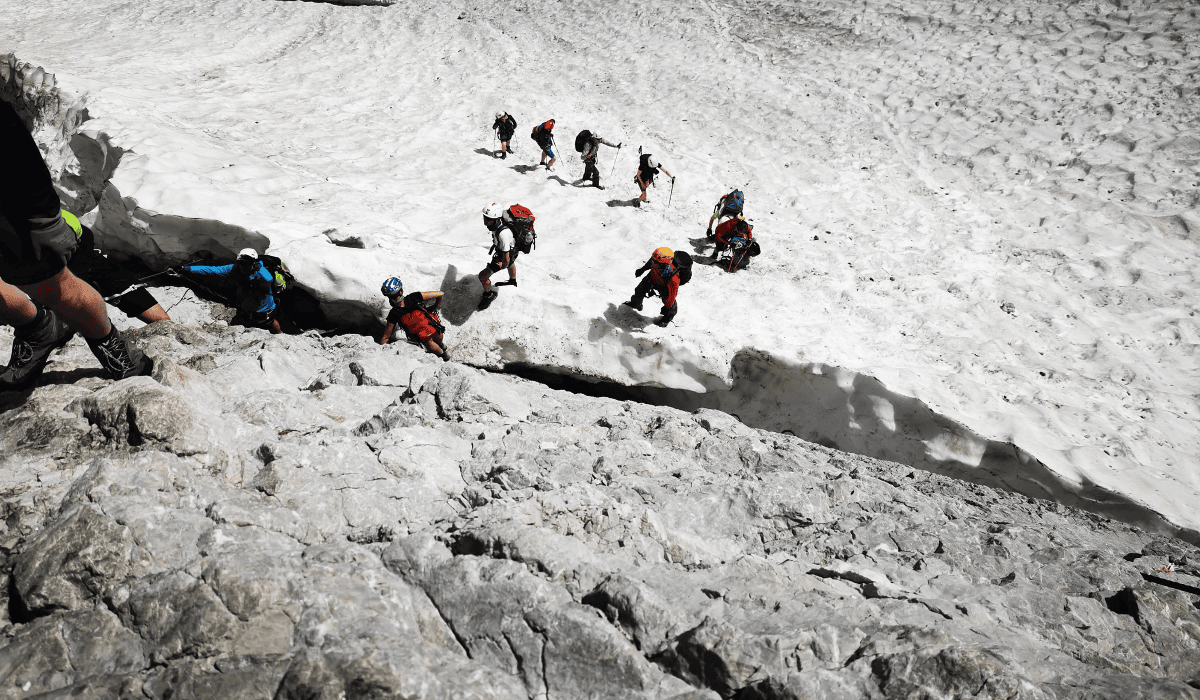
We are lucky on this day and the snow cover is extremely slushy and you sink into the snow up to your ankles. This means that our crampons, which we have with us just in case, stay in our rucksacks and we follow the track zigzagging up to the notorious crevasse, which we have to overcome to get onto the final (and long) summit via ferrata. Here, too, a serious traffic jam has already formed and we have to wait a good 20 minutes before we can climb over a relatively narrow snow bridge on the rocks and over to the wire rope. From here, there are still a good 600 metres in altitude to climb to the summit of the Zugspitze.
THE FINAL VIA FERRATA
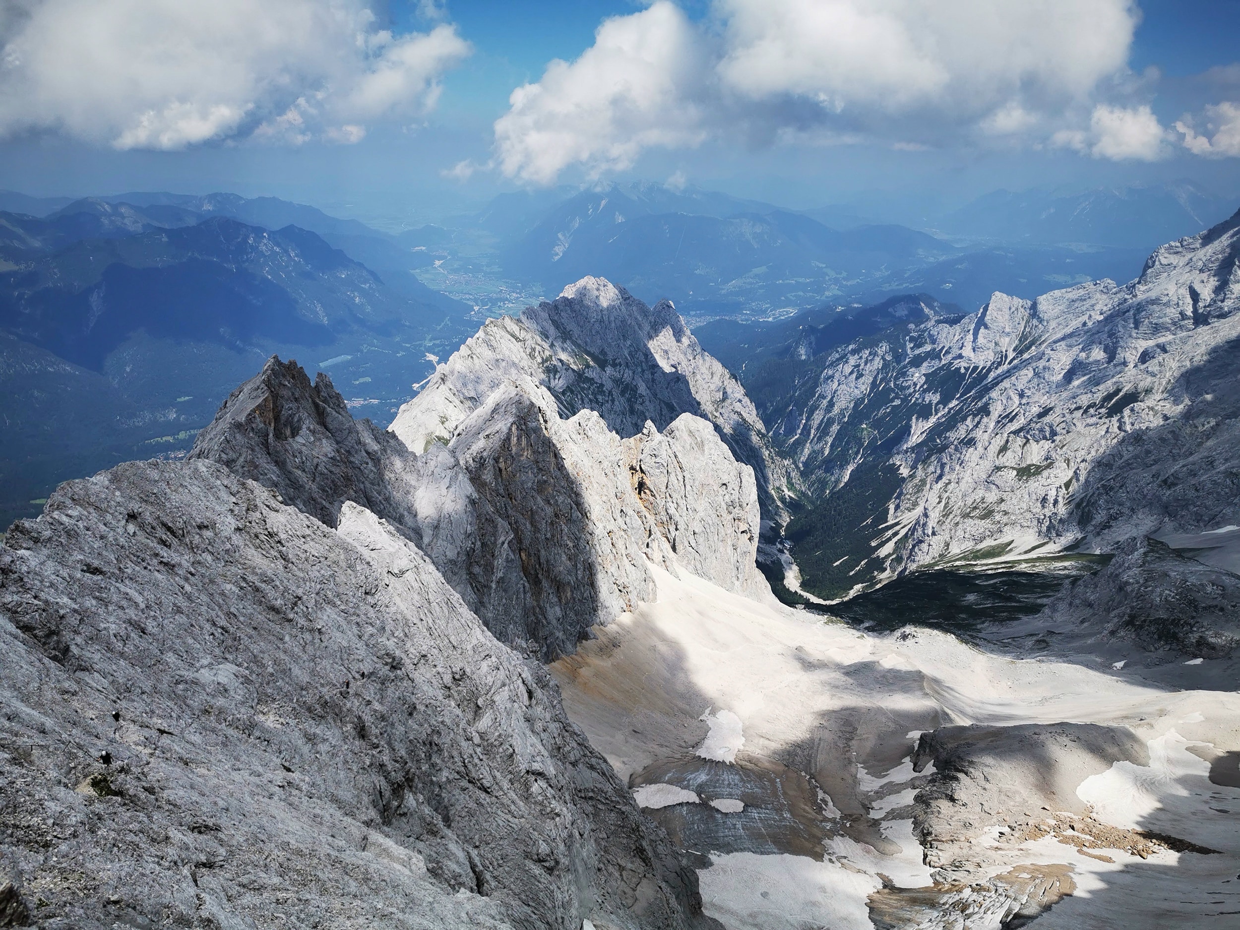
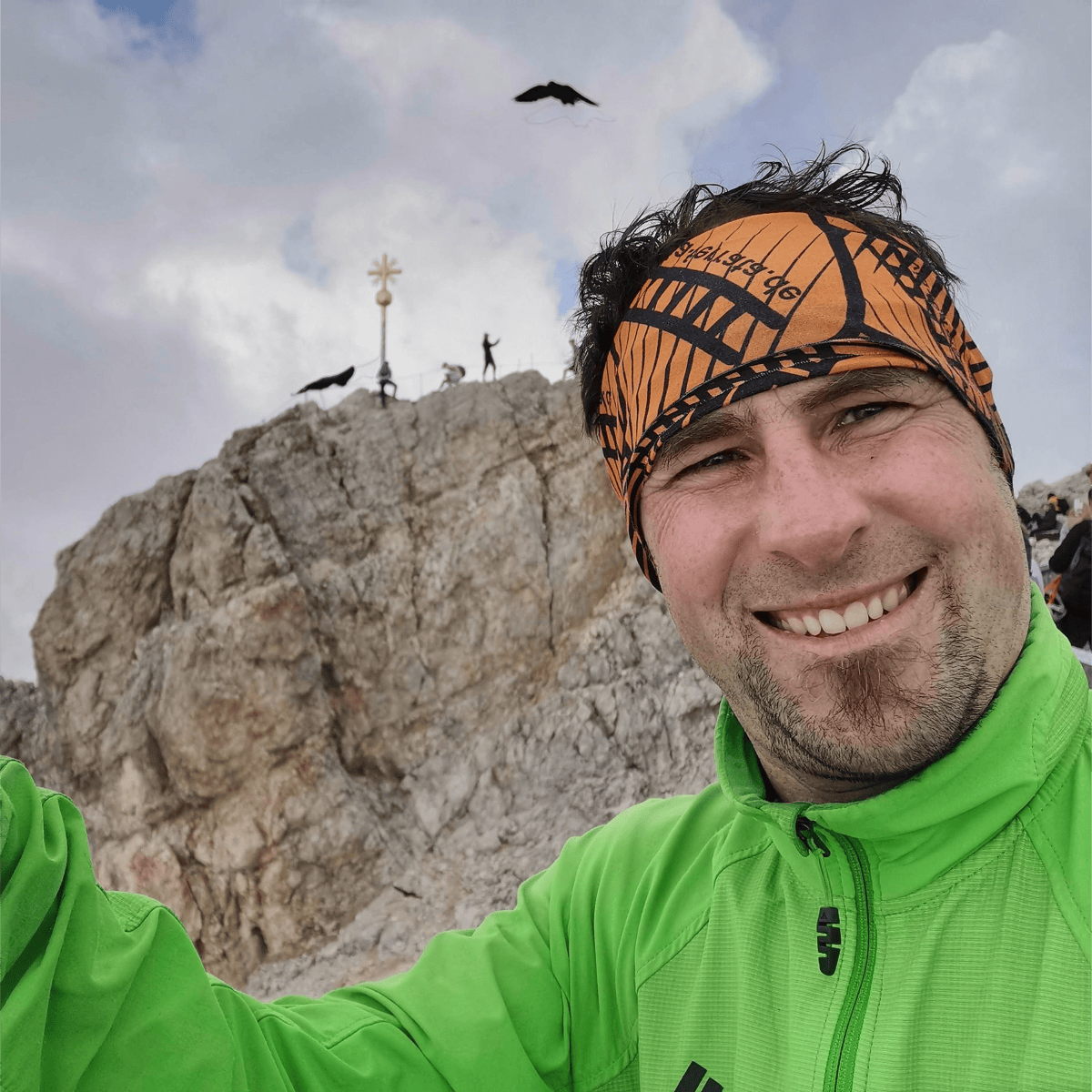
The final via ferrata is not particularly difficult (maximum B/C) but it is very long and you can really feel the altitude here. Slowly and always following the caravan, we now climb metre by metre towards the Zugspitze summit until, just before the Irmerscharte, we catch our first glimpse to the right down to the Eibsee [via-ferrata.de]. Now it's almost done and from the Irmerscharte it's just under 30 minutes to the summit cross, which is now clearly visible. This motivates us and we finally reach the summit of Germany's highest mountain at 2 p.m. after a 9-hour ascent (including breaks).
Conclusion: A great tour that you should have done! The 2,200 metres in altitude and the situation on the glacier and the crevasse should not be underestimated!
"If you want to do the tour in one day - as we did - you should start early so that you can reach the last cable car safely."
